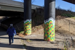
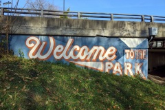
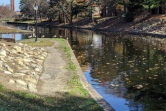
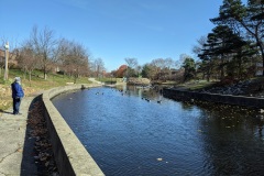
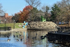
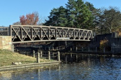
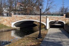
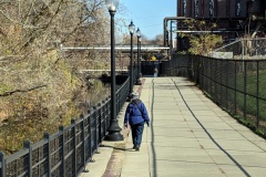
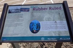
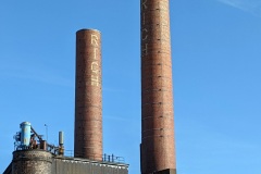
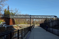
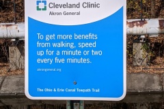
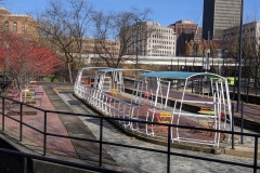
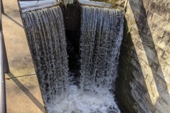
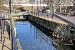
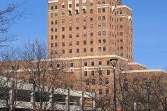
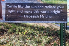
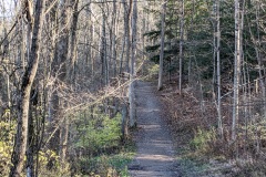
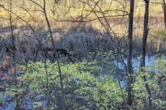
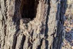
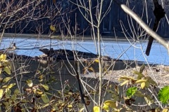
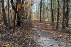
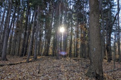
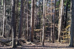
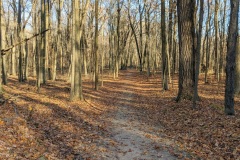
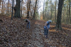
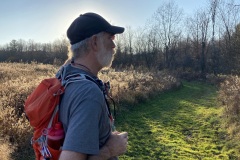
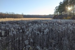
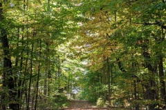
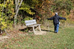
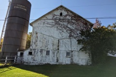
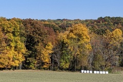
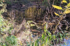
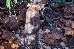
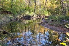
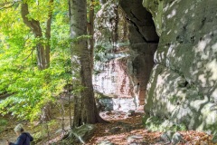
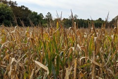
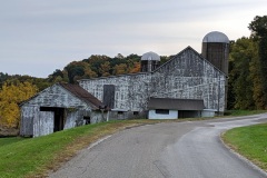
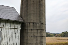
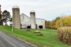
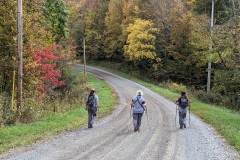
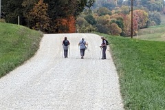
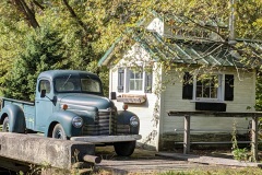
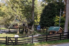
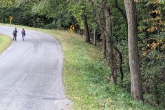
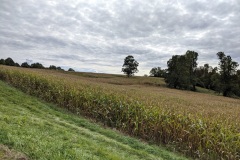
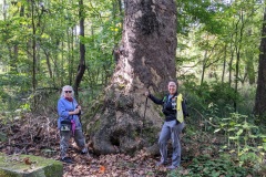
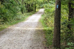
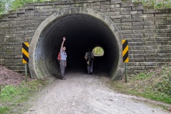
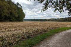
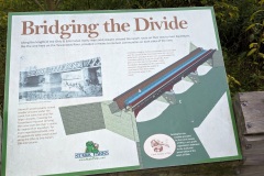
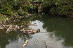
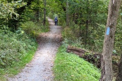
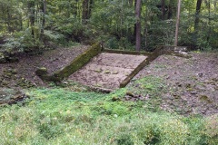
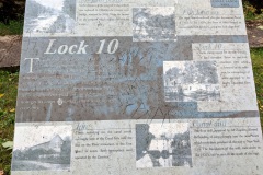
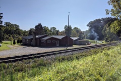
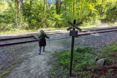
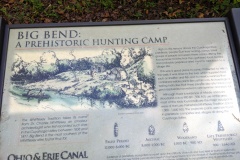
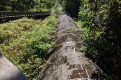
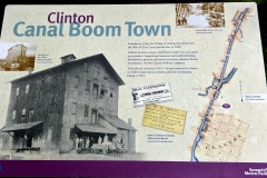
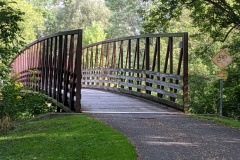
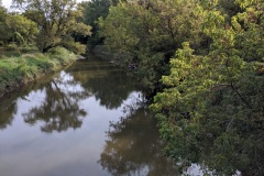
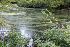
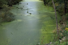
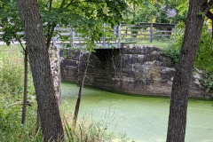
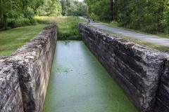
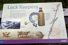
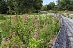
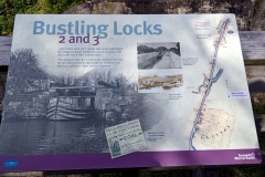
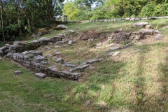
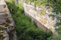
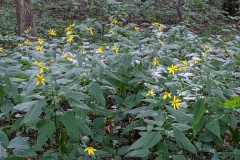
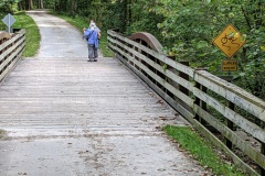
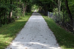
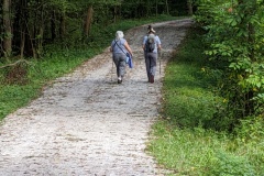
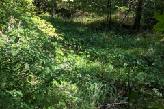
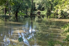
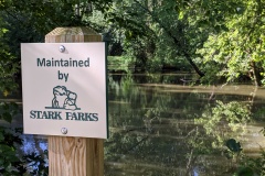
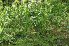
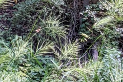
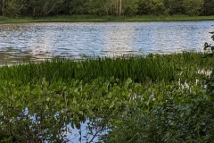
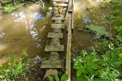
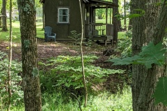
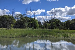
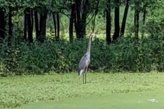
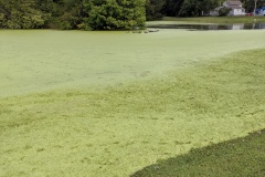
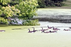
April and I went out on our own again trying to finish the ‘Little Loop’ before winter truly sets in. Giving up on biking these last few sections because gearing up trailer hitch/bike rack is more problematic than originally envisioned. Since we have to retrace our steps back to the car we can only accomplish smaller hikes- this one was a 6.6 mi round trip through Akron city proper along the towpath trail. Cloudy and blustery, but still feels good to get out of the house for a few hours! Started out at Summit Lake park and walked northeast along towpath to Akron Zips baseball stadium. There was a surprisingly nice city park snaking its way between multiple apartment complexes along the way- we only passed less than a handful of people and saw little activity among houses either- very STRANGELY silent! Passed the BF Goodrich headquarters which sat alongside old broken down buildings associated with it. Lots of pipes along canal! You kind of wondered if they spewed toxic waste into the canal in the past…hopefully no more. We walked down main street when we doubled back and again, strangely silent- like you were in some dystopian movie set with no people- eerie. On a positive note, everyone who was out was wearing a mask, people seem to be taking COVID seriously as it reaches new daily highs in case counts in Ohio and the US. People, must be hunkering down. When we walked from Summit Lake south a bit to Wilbeth Rd trailhead, it began with a nice long boardwalk but ended with another walk through industrial tracks of land surrounding the canal with occasional steam releases from nearby pipes that startled you! Again, had many doubts about the health of the canal here, but to be fair we saw two blue herons, fish in the water and an abundance of ducks, so must be livable. This stretch of hike just above trailhead was still among the worst parts of the BT we have ever walked, second only to the salt mines up by Headlands beach in Mentor. Despite this bad ending, it was nice to be out in open air. Two more small sections to finish!
Medina, sections 18+ – 21 (11/9/20)
Happy B-day April! Celebrated with Wendy by hiking the rest of Hinckley on a super warm (low 70s) sunny fall day! Hike started along south trail of Hinckley lake and went out to Kellogg Rd parking lot. Then we doubled back a little bit and took another trail north through the woods to get back to the top of the lake for the return leg. Along the way we passed a few horses and a surprising number of other hikers and trail runners, especially when near the lake. Wendy and April spent some time picking up leaves for Wendy’s art creations (amazing what you can do with dead leaves). Many kayakers out paddling today! One of our favorite spots was the secluded Soybean Loop, which was a large open wild field (no soybeans in sight) that was an island nestled among the woods. It was really a nice surprise. The combination of fall colors, rustling leaves and setting sun made for a serene outing and left me wondering why I have never found my way to this metropark until now?
Related Images:
Medina, sections 21 – 24 (10/17/20)
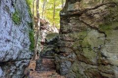
Wendy was working so April and I took a hike where I have never been- Hinckley State park, famous for its buzzards! We had to plan a loop hike to get back to the car so we could only walk half the park- still, was a beautiful sunny fall day so we included the bridle trail for half the hike. Once again the popular spots seemed busy but where we trail hiked was pretty quiet. Got lost around Whips Ledges, but that was fun and very interesting- who knew that was there! There were even a few groups of rock climbers doing their thing. Too many kids running around for my comfort, but was distracted by soaring rock formations. Looking forward to going back.
Related Images:
Bowerston, sections 2-9 (10/10/20)
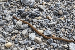
We all agree that ride to starting point getting too long (> 90 min!) and we need a change of plans in our approach to doing these distant sections. On top of that our phones don’t work down here so it is hard to contact Wendy when we first try to meet up at a specific starting point- dropping pins on section points is not that accurate- gets you close but then you just have to drive around a little to find each other. We will figure it out, hopefully sooner than later. Another beautiful day to hike! Started on back roads, and I mean middle-of-nowhere back roads, some not even paved, and finished with a nice hike through the woods. In beginning, road was testament to MANY baby snakes that did not make it across safely. We did run across one that was actively crossing and just missed being stepped on by April. Also a day of multiple Woolly bear caterpillars crossing the roads- they seemed to have a better success rate judging by road kill. Lots of ups and downs today also, so a good workout. Just when our feet were aching from road we entered the woods, and immediately could smell the damp fall leaves and evergreens- was refreshing! A lot of trail maintenance going on here, as many trees seemed to have fallen on trail and needed to be cleared away. Thumbs up to whomever did it! Finished up along a tranquil lake. By the end it was actually beginning to get darker as dusk was approaching, and being in the woods did not help. I would rate this as one of our best road section hikes.
Related Images:
Massillon, section 24 – Bowerston, section 2 (10/3/20)
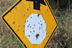
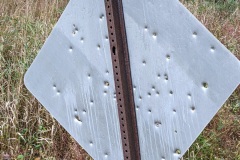
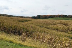
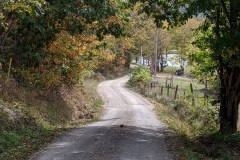
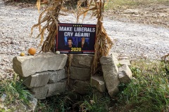
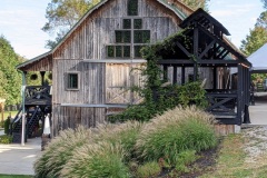
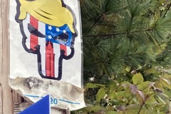
This was a day to just watch the clouds- very dramatic! Even though it was an all road hike, they were mostly back roads with little traffic. Robin joined us again and we were all encouraged to see some Biden signs out in rural Ohio, where Trump support is always strong. On that note, we were all perplexed by one sign on a telephone poll as to it being pro/anti-Trump (see photos)? A couple of hills along the way improved our workout. Passed a nice barn-turned-wedding venue in the beginning which seemed ideal to us, with lots of places to relax and wander. Also ran into a prickly man who came by in a truck and did not appreciate my being on his ‘private property’ just off the road looking across his field- geez! All other folks were friendly, so was quite a surprise. Anyway, another beautiful day for a hike, but getting farther from home so pretty soon we will have to begin camping along the way!
Related Images:
Massillon, sections 19-24 (9/26/20)
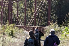
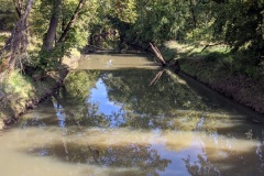
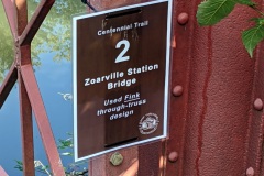
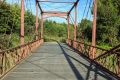
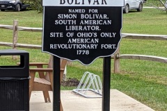
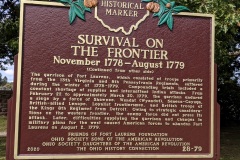
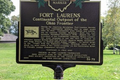
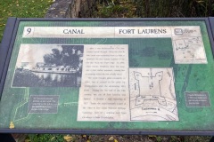
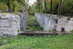
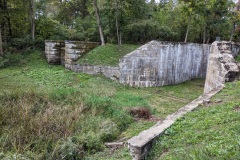
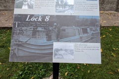
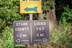
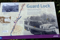
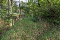
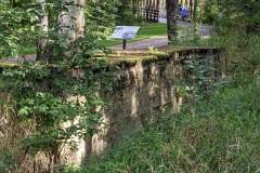
After much discussion about whether to hike or bike the BT down in the sections around Massillon, mostly because we have been hiking so much towpath recently, we settled on trying to hike these sections because they seemed more woodsy on Guthooks…it was the right choice! Although it was still mostly towpath, it was not the typical 6+ ft wide, asphalt or crushed limestone roadway. Rather, much was a dirt trail a couple feet wide that variably widened or shrunk along the way. Also much less trail traffic, making for a very peaceful hike on a beautiful fall-ish day. The canal itself was largely absent of water or not even present. We stopped at Fort Laurens in Bolivar for a prolonged lunch break, the site of a Revolutionary war fort with a lot of history to read about on scattered info boards around the grounds. The BT immediately south had a surprising abundance of canal locks , again with many info boards- and I read them all because I find it fascinating to imagine canal life back in the day. It was also mentioned about how the Zoarites really helped to build the canal down here to give them an outlet for their farm products- smart! We pushed through to the end of our longest hike of 12+ miles (what were we thinking?) but still had enough energy and interest to tour the historic recreated town of Zoar afterwards to complete a pretty perfect day…except for the noticeable ache coming from my feet.
Related Images:
Akron, sections 12-18 (9/20/20)
Another great day! First, I apologize for the few pictures as my phone camera malfunctioned- not sure why, but it has been giving me problems. We decided to hike this section of BT to be in the woods more and in the city less. For the most part this worked out; early on the trail was a dirt path in the woods and as we approached Akron we were on the towpath but surrounded by woods. There was a major detour, going on for years it seems, right at the city edge that takes you off the towpath and through city neighborhoods. Right from the beginning of hike you parallel a HUGE sewage pipe out of Akron for miles that ends at a treatment plant out by Bozum- kinda yucky to think about but truly impressive in scale and length- just a long enclosed concrete viaduct. The second most impressive thing were all the locks along the towpath as you approached and entered Akron. The city has done a really nice job highlighting this feature of history. There was a nice mural under a city bridge demonstrating the number and location of locks between Cleveland and Akron, and the steep elevation changes and increased frequency of locks as you approached Akron. Wendy remarked “Maybe that’s why they call it Summit County!” She may be on to something. By similar reasoning, Portage County may be named because this is where the Tuscarawas and Cuyahoga rivers are the closest, and Indians/traders had to ‘portage’ their boats and goods between the two rivers. It seems also where the water source for the canal switched. Really interesting, right? Too bad my many pics didn’t make it so you could read about it for yourself.
Related Images:
Akron, sections 25+ to 20+ (9/6/20)
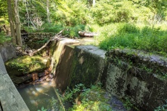
Started at Clinton trailhead and hiked to Barberton trailhead. Another great weather day! This hike was a day of bridges (at least a dozen) and canal locks (at least at the beginning)…not so much a turtle day like before, probably because most of the canal was not in open sunshine until the end of hike toward Barberton. Bikers were still abundant on this stretch of trail, and it even had a little elevation in the middle. When you pass by the old locks and read the info boards (sorry about the pics, couldn’t see phone screen), it really makes you wish you could have been here back in the day when the area was bustling with canal barges and commerce. It is also easy to overlook what an engineering marvel this entire canal route represents! All of us remarked how many of the daily bikers/hikers seem to be ‘plugged-in’ to their own little worlds and are oblivious to the surrounding nature and history. Few see anything in the canals- I guess its fair they should just try to avoid running over/into fellow trail mates…especially some of us who tend to wander side-to-side. First half of hike was scenic in parts, but last half at beginning of Barberton was semi-commercial and was a chore to finish. A large part of the hike was around/through a land reclamation project from a former PPG soda ash site that started back in the 70’s when the company couldn’t meet new EPA standards. At the end, we (again) rewarded our efforts with ice cream from Skoops- I like this habit we have started 🙂
Related Images:
Massillon, section 11 – Akron, section 25+ (8/30/20)
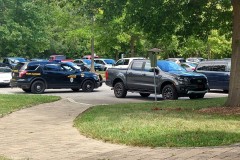
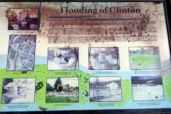
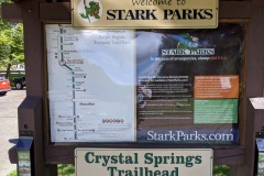
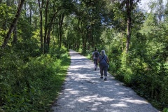
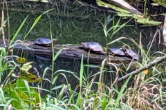
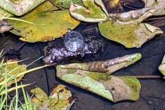
Beautiful day!!! Also an interesting one. First of all, we wanted to hike from Crystal Springs trailhead to Clinton trailhead. Basically start at the Massillon-Akron junction and head north up towards Akron to finish the ‘Little Loop’! Well, we were initially surprised by the VERY short time of the hike (which of course I initially got blamed for), and it took us a while to figure out that we had parked in the middle of our outlined hike by mistake (so NOT my fault)! Luckily it was a good time to break for lunch under a picnic shelter in Clinton…which brought its own drama, and a good laugh, as an unfortunate couple was so eager to bike the towpath (maybe to lessen their arguments) that they left their truck door wide open! This led to a good Samaritan calling the police, who didn’t seem to know what to do about it, several notes left on the poor guy’s truck saying what happened as his car alarm went off, etc. Quite entertaining! We really felt like we should have entered the comedy since we saw it all unfold from our park bench, and laughed about talking to the police, leaving our own notes explaining the notes, or some such mischief. We decided the laugh was reward enough and we drove to the CORRECT parking lot this time and finished our intended hike. You will notice in the photos that the canal went from basically dry to full of water, and I never saw so many turtles in my life, so of course I had to take pictures! There was a lot of life in that stagnant canal, which I guess is a good thing. The Tuscawarus river on the other side of the towpath was bloated from recent rains, probably residual hurricane Laura. Tons of bikers and occasional hikers along the path, so you had to stay alert. We finished the day with tired feet and treated ourselves to ice cream from Oser’s in Canal-Fulton, which was a cute little town.
Related Images:
Medina, sections 25-27 (8/9/20)
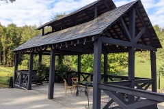
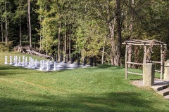
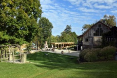
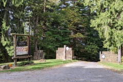
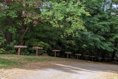
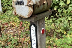
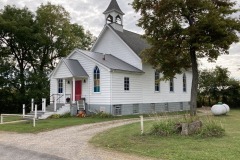
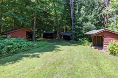
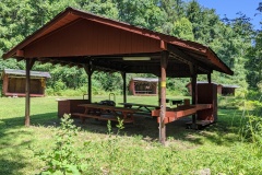
April and I are trying to get back on the trail after a long absence caused by hot weather and too busy at work. We visited Richfield Heritage Park on Wendy’s recommendation, who is resting up for a big adventure of her own next week. This park was part of the Kirby estate of vacuum fame and had several period buildings, then it seems was turned into a Girl Scout camp. Now it is owned by the city and many of the buildings are neglected and run down. Two different people who said they knew the park well really had little idea about Buckeye trail whereabouts, even though it was shown on the main park map. We were having problems locating BT because signage was less than ideal except in a few spots. Anyway, trail was mostly all woods and ran along a creek, we saw nobody along the way once on trail; visitors stayed close by the buildings and lakes. Was a hot one today, so happy to be in the woods. April and I walked a lot of the park besides the BT, so we did get a nice little “welcome back” workout. Hopefully, this will help us fall back into our weekend hiking routine.

