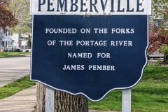
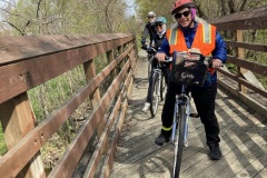
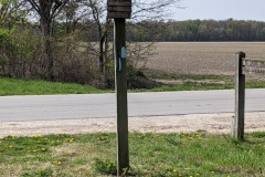
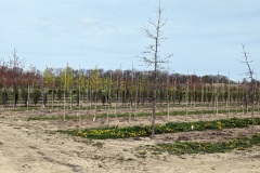
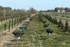
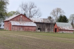
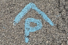
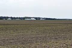
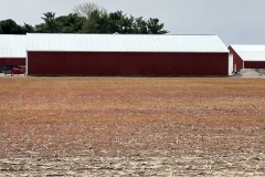
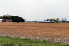
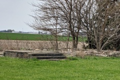
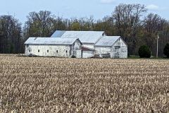
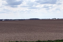
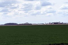
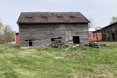
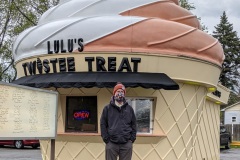
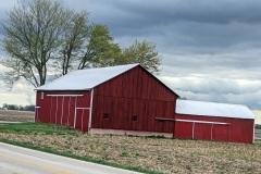
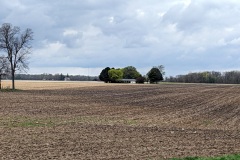
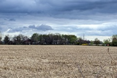
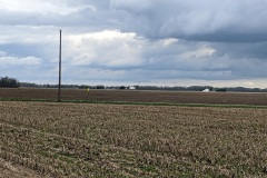
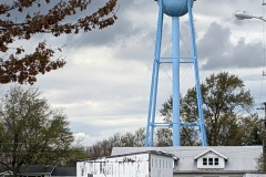
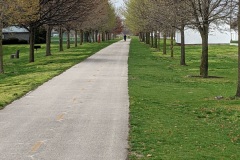
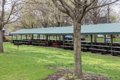
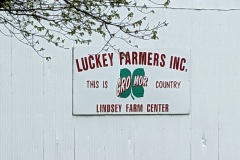
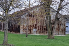
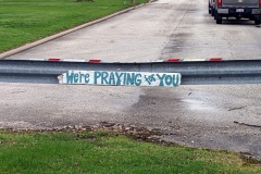
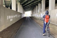
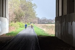
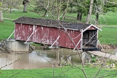
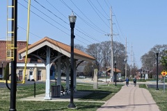
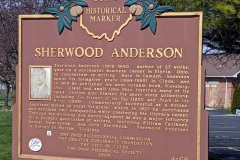
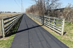
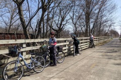
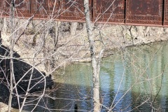
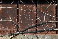
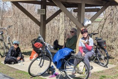
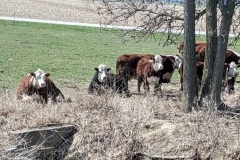
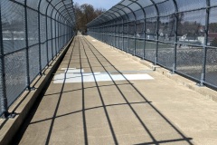
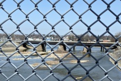
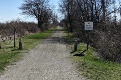
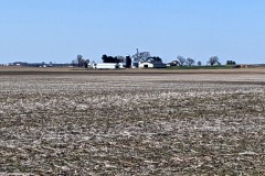
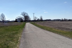
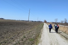
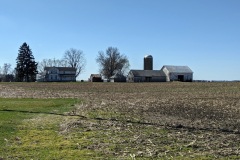
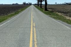
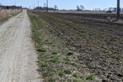
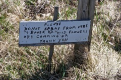
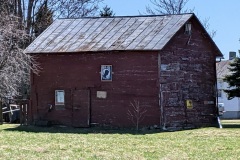
This is it! It is taking way too long to drive out here (2 hrs) to make it worthwhile for a one-day adventure, even with the increased miles we can cover on our bikes. We have to change our plans to include staying overnight camping to make the ride less of a grind. It really takes away from the joy of hiking/biking the BT. Anyways, so future blog posts will be more infrequent, but hopefully associated with bigger chunks of distance along with fun camping. Today was another all-roader except for a very BRIEF interlude of crushed stone path right outside of Pemberville. This path came out on acres of perfect rows of nursery plants to keep all those new suburban homes nice and greened up. If you looked up, the sky was dramatic but beautiful (another omen of a missed weather forecast). The roads we traveled were pretty much no wider than a tow path and exceedingly flat- just perfect for biking. Also barely any cars! It was very remote and you felt exposed with no crops in the fields to surround you. This also made it difficult to find the blue blazes, and at one point we thought they were painted on the road itself, but this turned out to be wrong. Still, it was super nice until Robin crashed into the rear derailleur of Wendy’s bike and essentially broke it off- I wasn’t close enough to the action to see what happened but imagine the Keystone Cops, or some other clown routine, here to capture the moment. We had 7 miles to go, so they walked and April and I peddled off to finish up and get the rescue car. The last leg was not much fun, a lot more main roads with traffic and… rain! There we go again- adding insult to injury! Never-the-less we got to the car, went back and rescued R&W (who had gotten surprisingly far on foot!) and on the long ride back we treated ourselves to some ice cream at Lulu’s, which you can’t miss. The sugar rush did a nice job of keeping us awake!
Pemberville, sections 20 – 13 (4/11/21)
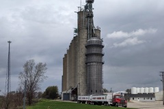
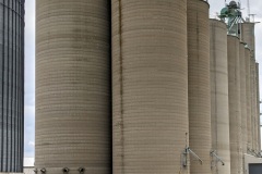
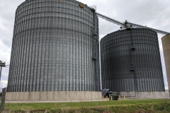
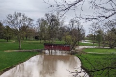
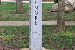
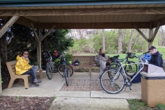
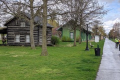
Well, today we continue our string of bike riding the BT, this time pedaling out for 21 miles! The day started off with DRAMATIC skies, which should have forewarned us that the weather forecasters were about to mess it up again, just so we could get wet! The NCIT was long and straight to begin with, as usual, and ran through some nice small towns. We passed some gigantic grain (?) elevators, multiple times, and I am now beginning to appreciate just how important agriculture is to western Ohio. They dot the landscape everywhere, and go hand-in-hand with all the flat land we pass by. Just as we finished up the NCIT and were entering Elmore, we came to a nice shelter to stop and lunch, and a brief shower immediately started- WOW, what good luck for us we thought… unfortunately, we were soon to find out that idea was fantasy! Elmore was a historical town, log cabin and old train station and all- and we happily kept right on biking out of town on what seemed to be a brand new section of the NCIT. Then it dawned on me that this seemed too new, and of course we were not on the BT, and had to backtrack into town to find it again as it wiggled along small roads out of town. THEN it started, rain and wind-in-your-face, which made the going slow, tiring and not too pleasant- gosh we missed the NCIT, with the wind at our back! Too bad about the %^$#@& weather, because the roads we travelled were ideal back roads that ran along the Portage river and could have been quite scenic if I could see through my fogged up and rain-splattered glasses. We endured, though, and actually raced faster in the end when we saw some VERY dark clouds off in the distance, obviously pouring rain, that seemed much worse than anything we had yet experienced. Luckily the bad weather went south of us. Didn’t take any pictures after Elmore due to the rain, except of some chickens that were huddled for safety under a side-door porch roof as a turkey vulture was circling overhead- they are smarter than we give them credit! We finally came to Pemberville, again surprised that we all still felt kind of ok, but there was not much to the town- even the lure of a sign advertising fresh pastries was a disappointment- more like a bake sale in an antique store. Oh well, perfect finish to our day.
Related Images:
Norwalk, section 3 – Pemberville, section 20 (4/4/21)
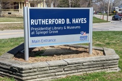
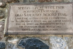
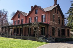
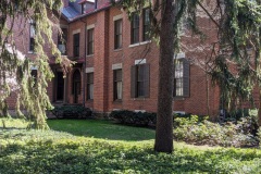
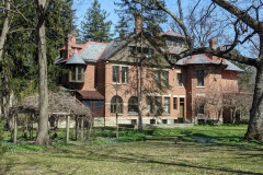
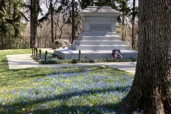
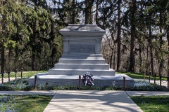
Happy Spring! Happy Easter! Happy Pesach! Today we set out on a longer (15 mile) bike venture because the ‘trail’ was largely off road again. It took us a while to jockey around all the bikes and get the cars in place, but figured the miles gained was well worth the time spent. Our beautiful day started off with a long stretch of NCIT that was as flat and straight as if it was drawn up with a pencil and ruler. A leisurely pace brought us to the quiet little town of Clyde. As we came up to the town of Fremont we crossed over the Sandusky river, where some locals were fishing for walleye. When you look at a map we are now REALLY close to Lake Erie, so I guess the walleye are coming up river to spawn? On arriving at the much larger town of Fremont, we passed the home and memorial library & museum of president Rutherford B Hayes! This was a nice surprise and was quite the mansion and grounds. Spring was blooming all around us and his grave was tucked at the back of the property. There were also a few tourists milling around- it was a nice place to linger on a sunny day. After snaking through the surrounding neighborhoods (the BT was NOT well marked in town) we unfortunately ended up on route 20 for a stretch with no bike lane for a stretch. Ended up at Fremont trailhead lot where the NCIT picked up again. We all seemed to have survived our longer time spent on the saddle, so we will pick it up a notch on our next ‘hike’.
Related Images:
Norwalk, sections 3 – 5 (3/29/21)
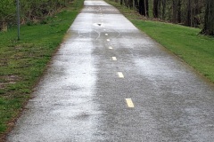
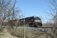
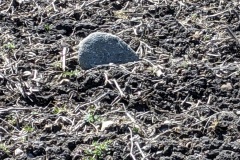
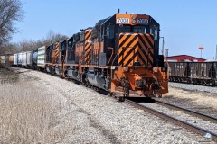
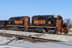
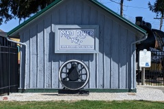
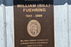
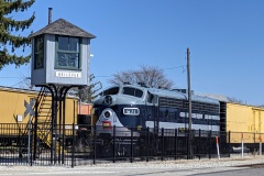
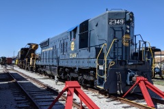
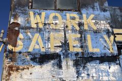
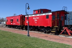
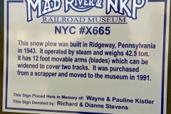
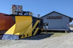
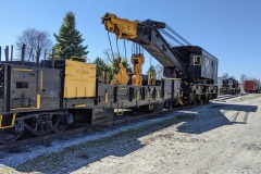
Back to hiking! It was a little too cold to bike, and we were still trying to figure out some logistics for transporting them, but hopefully we can get ‘back on the saddle again’ next week! Today we are mostly following the North Coast Inland Trail (NCIT). Looking ahead- it seems like we will be on it for a while. It is a hard surface (crushed stone or asphalt), flat trail that seems to parallel a RR line for long stretches…ideal for biking. This is how it started out today- we took advantage of it being a beautiful Monday (yes, taking a vacation day) with not a soul on the trail. Looking at the plowed fields surrounding us I was surprised to see a lot of unearthed stones that looked like river rocks- with smooth, rounded surfaces- since we were no where near water I imagine it may have something to do with glacial deposits? Actually posted a very boring picture of one as an example- it was one of the more sizable ones I noticed. They were everywhere though. We finally came to the outskirts of Bellevue and came across the Mad River RR museum- it was not ‘open’ but you could walk around and peek into the windows of many engines and cars. Would be worth going back there. I’ve decided I must like trains- I take pictures of them whenever I can and am thrilled whenever one passes (did see one passing through Bellevue today). Bellevue seemed to be another town with a rich past, given the mansions we saw on the west side of downtown, but unlike Norwalk, main street was not doing that well now from the looks of it. There were beautiful old brick storefronts but they were largely vacant. It must have been a RR town back in the day, which would explain its decline. Near the end of our day we all remarked how good we felt for traveling 11 miles (although the last mile less pleasant). It was also REALLY nice to talk to each other along the way, which is definitely hindered by biking.
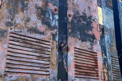
Our blog burner question for today is “Why and when was RR graffiti started?” Saw it on the passing train cars today- some of those people are really talented artists.

