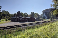
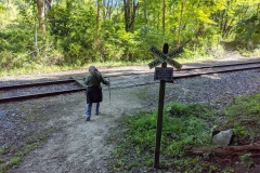
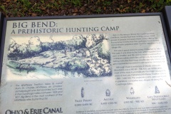
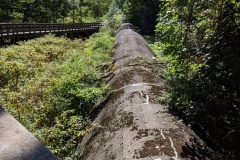
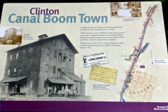
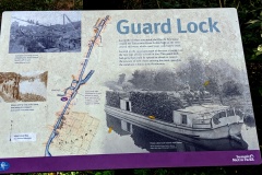
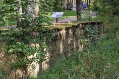
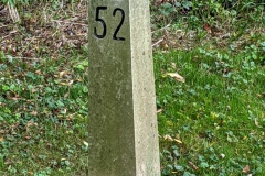
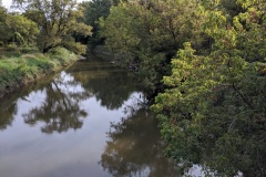
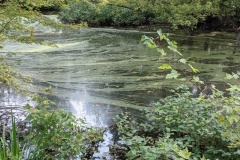
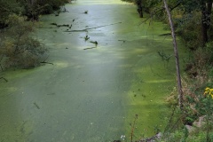
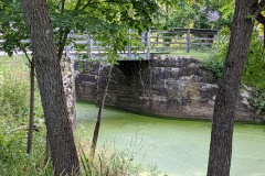
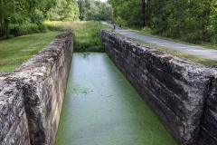
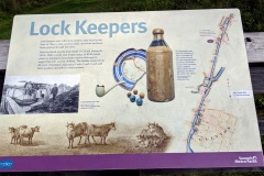
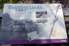
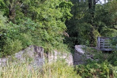
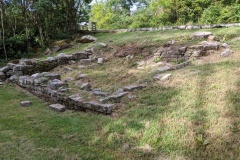
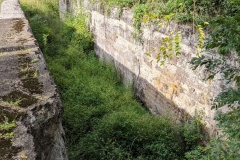
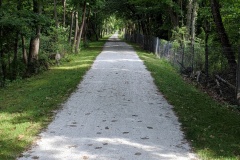
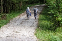
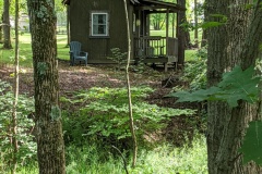
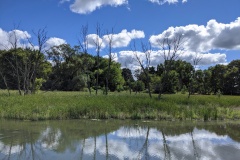
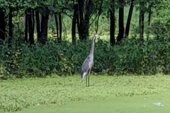
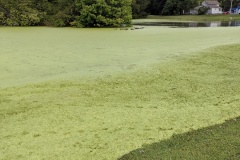
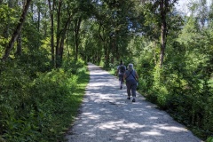
Another great day! First, I apologize for the few pictures as my phone camera malfunctioned- not sure why, but it has been giving me problems. We decided to hike this section of BT to be in the woods more and in the city less. For the most part this worked out; early on the trail was a dirt path in the woods and as we approached Akron we were on the towpath but surrounded by woods. There was a major detour, going on for years it seems, right at the city edge that takes you off the towpath and through city neighborhoods. Right from the beginning of hike you parallel a HUGE sewage pipe out of Akron for miles that ends at a treatment plant out by Bozum- kinda yucky to think about but truly impressive in scale and length- just a long enclosed concrete viaduct. The second most impressive thing were all the locks along the towpath as you approached and entered Akron. The city has done a really nice job highlighting this feature of history. There was a nice mural under a city bridge demonstrating the number and location of locks between Cleveland and Akron, and the steep elevation changes and increased frequency of locks as you approached Akron. Wendy remarked “Maybe that’s why they call it Summit County!” She may be on to something. By similar reasoning, Portage County may be named because this is where the Tuscarawas and Cuyahoga rivers are the closest, and Indians/traders had to ‘portage’ their boats and goods between the two rivers. It seems also where the water source for the canal switched. Really interesting, right? Too bad my many pics didn’t make it so you could read about it for yourself.
Akron, sections 25+ to 20+ (9/6/20)
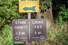
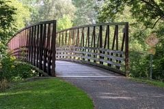
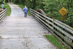
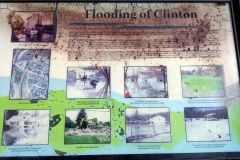
Started at Clinton trailhead and hiked to Barberton trailhead. Another great weather day! This hike was a day of bridges (at least a dozen) and canal locks (at least at the beginning)…not so much a turtle day like before, probably because most of the canal was not in open sunshine until the end of hike toward Barberton. Bikers were still abundant on this stretch of trail, and it even had a little elevation in the middle. When you pass by the old locks and read the info boards (sorry about the pics, couldn’t see phone screen), it really makes you wish you could have been here back in the day when the area was bustling with canal barges and commerce. It is also easy to overlook what an engineering marvel this entire canal route represents! All of us remarked how many of the daily bikers/hikers seem to be ‘plugged-in’ to their own little worlds and are oblivious to the surrounding nature and history. Few see anything in the canals- I guess its fair they should just try to avoid running over/into fellow trail mates…especially some of us who tend to wander side-to-side. First half of hike was scenic in parts, but last half at beginning of Barberton was semi-commercial and was a chore to finish. A large part of the hike was around/through a land reclamation project from a former PPG soda ash site that started back in the 70’s when the company couldn’t meet new EPA standards. At the end, we (again) rewarded our efforts with ice cream from Skoops- I like this habit we have started 🙂
Related Images:
Massillon, section 11 – Akron, section 25+ (8/30/20)
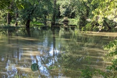
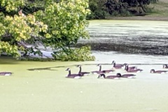
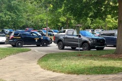
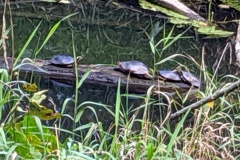
Beautiful day!!! Also an interesting one. First of all, we wanted to hike from Crystal Springs trailhead to Clinton trailhead. Basically start at the Massillon-Akron junction and head north up towards Akron to finish the ‘Little Loop’! Well, we were initially surprised by the VERY short time of the hike (which of course I initially got blamed for), and it took us a while to figure out that we had parked in the middle of our outlined hike by mistake (so NOT my fault)! Luckily it was a good time to break for lunch under a picnic shelter in Clinton…which brought its own drama, and a good laugh, as an unfortunate couple was so eager to bike the towpath (maybe to lessen their arguments) that they left their truck door wide open! This led to a good Samaritan calling the police, who didn’t seem to know what to do about it, several notes left on the poor guy’s truck saying what happened as his car alarm went off, etc. Quite entertaining! We really felt like we should have entered the comedy since we saw it all unfold from our park bench, and laughed about talking to the police, leaving our own notes explaining the notes, or some such mischief. We decided the laugh was reward enough and we drove to the CORRECT parking lot this time and finished our intended hike. You will notice in the photos that the canal went from basically dry to full of water, and I never saw so many turtles in my life, so of course I had to take pictures! There was a lot of life in that stagnant canal, which I guess is a good thing. The Tuscawarus river on the other side of the towpath was bloated from recent rains, probably residual hurricane Laura. Tons of bikers and occasional hikers along the path, so you had to stay alert. We finished the day with tired feet and treated ourselves to ice cream from Oser’s in Canal-Fulton, which was a cute little town.

